Hiking trails
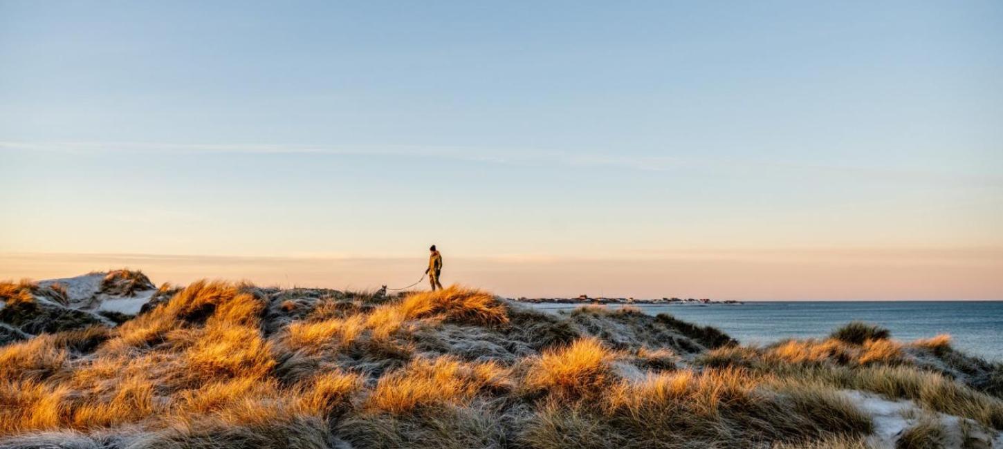
Strolling offline along the wide sandy beaches, in the wild heath landscape behind the dunes, or through ‘The Outback’ at the North Sea is what life’s all about.
For beginners or experienced nature lovers there are numerous loop-holes, hidden view gems, sunshine, and secret paths with packed lunches and curiosity – whether you follow your nose or one of the many designated trails.
Heart route at Karlsgårde
See a map of the route here.
At Karlsgårde Vandkraftværk – the water plant -, a 5.3 km heart path has been created around Karlsgårde Lake. Along the route, you pass through the forest and walk along the lake. Along the way, there is access to a toilet and a fire pit, and it is possible to sit on benches and enjoy the scenic area.
Hiking route Ho Plantation
See a map of the route here.
The route is marked in yellow. Ho Plantage is located on the "southern edge" of Horns Rev, and the hiking route goes well around the landscape, where you can experience the variation of the terrain in shape and vegetation with views of both Skallingen, the North Sea and the Wadden Sea.
Hiking route Ål plantation
See a map of the route here.
The yellow route is split in two, both routes are marked with yellow markers. The short route is approx. 7 km. and mainly follows easily accessible roads and paths.
Hiking route in Blochsgård
See the route and read more here.
The route is marked in yellow. The walking route, which starts at Blochsgård, goes through the central part of Kærgård Plantage, and down to Børsmose Strand. The landscape is a varied landscape with dense thickets, the intimacy of the forest bogs and the breathtaking grandeur of the dunes.
Hiking route in Nyminde Plantage
See a map of the route here.
The route is marked in yellow. Nyminde Plantage is situated along the eastern edge of the lakes that make up the Nyminde Stream. There are good vantage points, and the hiking routes in the plantation go through both the mountain pine thickets out to the west with the viewpoint Hattebjerget and through the forest stands in the back under the shelter of the mountain pines.
Hiking route over Bagges Dam
See a map of the route here.
The round trip starts at Bollerup Småhuse (Surfspot Kloster), with a cozy surfing environment all year round and good facilities, including a picnic house, toilet and tables and benches. The trip goes via Bagges Dam to Sdr. Vig and back to Bollerup Småhuse.
Hiking route on Hindø
See a map of the route here.
The route is 5.8 km and goes over the wooden bridge to Hindø. The island Hindø is 70 ha and is located in Stadil Fjord. From Hindø there is a beautiful view over the fjord to Stadil Church and the dunes by the North Sea.
Hiking route in Hoverdal Plantage
See a map of the route here.
The route is marked in yellow. Beautiful hiking route that leads you through the forest and over beautiful heath areas. Certain sections can be a little wet and the route is generally not suitable for prams. Parking at Præstevej.
Hiking route in Skjern Ådal - Vester Enge
See a map of the route here.
A nice and challenging route around Vestre Enge. The route goes around Vester Enge and crosses Kalvholm on the way, where Skjern Å is crossed by two rope-pulled ferries. Depending on the season and the weather, it can be a more or less challenging route, as the paths can be under water or muddy.
Hiking route in Brejning Egekrat
See a map of the route here.
A route through Brejning Egekrat is an experience all year round. From the car park at Kratvej on the eastern side of the thicket, a marked path goes through the oak thicket. The path is approximately 2.3 km long, and it takes a little over an hour to follow the path around and back to the car park.