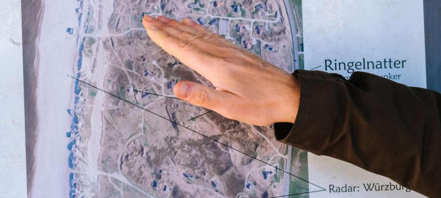
The location of local bunkers
The area north from Søndervig is perfect for exploring old bunkers.
In March 1942, the Germans began to focus on anti-aircraft-defenses and in August that year Hitler formed his strategy of building 15.000 bunkers in France, Belgium, Holland, and last but not least the coastal defense in Denmark.
The Kryle-Ringelnatter fortress, which is located 3.8 km north of Søndervig, was part of the Atlantic Wall and was established in 1943-1944. The entire fortress consists of 50 bunkers and there were originally 50 other concrete and wooden structures at the site. Moreover, mine fields and barbed wire surrounded this large fortress.
The northern part of the fortress was called the Kryle-position, which was a coastal military artillery installation with many bunkers and canons. The southern part of the fortress, called Ringelnatter, belonged to the Luftwaffe; this structure featured radar equipment, canons, and wooden baracks. The canons that were positioned there were old and not very effectful, so that part of the fortress was an illusion designed to make people think that the whole coast line was defended.
There are many single bunkers throughout the area but from Sortebærdalens parking lot by Houvig Strand, which is located 3.8 km north of Søndervig, there are an anti-aircraft-artillery, concrete foundations for radar, machinegun pits, bunkers for troops, and a splitter-bunker, which is a brick wall for the protection of wooden baracks against shell fragments.